
Rollet topographic map
Interactive map
Click on the map to display elevation.
About this map
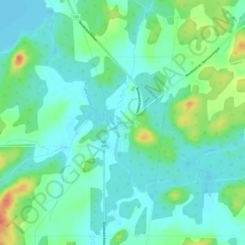
Name: Rollet topographic map, elevation, terrain.
Location: Rollet, Abitibi-Témiscamingue, Québec, Canada (47.89373 -79.26459 47.93373 -79.22459)
Average elevation: 276 m
Minimum elevation: 262 m
Maximum elevation: 310 m