
Oued Chaaba topographic map
Interactive map
Click on the map to display elevation.
About this map
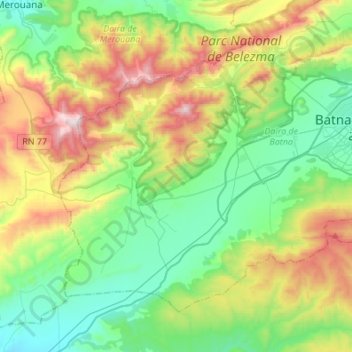
Name: Oued Chaaba topographic map, elevation, terrain.
Location: Oued Chaaba, Batna district, Batna, Algeria (35.43840 5.94346 35.60921 6.21586)
Average elevation: 1,308 m
Minimum elevation: 963 m
Maximum elevation: 2,120 m