Geolocate

Radway topographic map

Click on the map to display elevation.

About this map

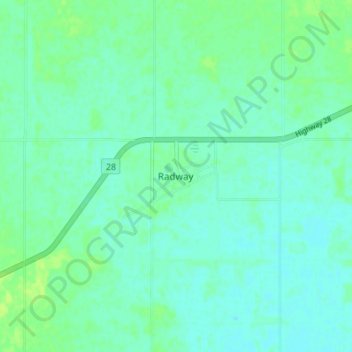
Name: Radway topographic map, elevation, terrain.

Location: Radway, Thorhild County, Alberta, Canada (54.04038 -112.96656 54.08038 -112.92656)

Average elevation: 633 m

Minimum elevation: 628 m

Maximum elevation: 640 m

Gear up for your next adventure:

🔋Solar Power Banks - Keep your GPS and phone charged during multi-day expeditions
👟Women's Trail Running Shoes - Agile footwear for fell running and technical trails
🧼Camping Hygiene Kits - Compact hygiene essentials for outdoor stays
👖Packable Overtrousers - Quick-deploy rain protection for legs in sudden storms
📍Handheld GPS Navigators - Reliable satellite navigation for hiking and off-road exploration

As an Amazon Associate, this site earns from qualifying purchases at no extra cost to you.