Geolocate

Chance topographic map

Click on the map to display elevation.

About this map

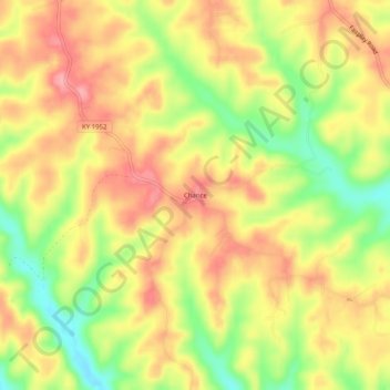
Name: Chance topographic map, elevation, terrain.

Location: Chance, Adair County, Kentucky, United States (36.95534 -85.34468 36.99534 -85.30468)

Average elevation: 276 m

Minimum elevation: 214 m

Maximum elevation: 322 m

Other topographic maps

Click on a map to view its topography, its elevation and its terrain.

Columbia

United States > Kentucky > Adair County

Average elevation: 241 m

Columbia

United States > Kentucky > Adair County

Average elevation: 241 m

Gear up for your next adventure:

GPS Outdoor Watches - Watches with GPS tracking for hiking and exploration
🎒Backpack Rain Covers - Universal waterproof covers to protect your gear from downpours
🗺️Ordnance Survey Maps - Official UK maps for walking and outdoor activities
🥼Base Layers - Thermal base layers for temperature regulation
🧘Folding Sit Mats - Dry and warm seat for map-reading breaks on damp ground

As an Amazon Associate, this site earns from qualifying purchases at no extra cost to you.