
Ridgefield topographic map
Interactive map
Click on the map to display elevation.
About this map
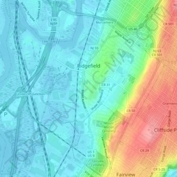
Name: Ridgefield topographic map, elevation, terrain.
Location: Ridgefield, Bergen County, New Jersey, United States (40.81272 -74.03538 40.84666 -73.98888)
Average elevation: 27 m
Minimum elevation: -2 m
Maximum elevation: 99 m