
Dishman Hills Natural Resources Conservation Area topographic map
Interactive map
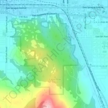
Click on the map to display elevation.
About this map
Name: Dishman Hills Natural Resources Conservation Area topographic map, elevation, terrain.
Average elevation: 648 m
Minimum elevation: 599 m
Maximum elevation: 812 m