
Sint Kruis topographic map
Interactive map
Click on the map to display elevation.
About this map
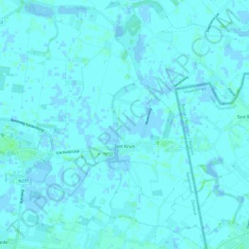
Name: Sint Kruis topographic map, elevation, terrain.
Location: Sint Kruis, Sluis, Zeeland, Nederland (51.24654 3.46328 51.30989 3.55627)
Average elevation: 1 m
Minimum elevation: -3 m
Maximum elevation: 5 m