
Río Holmul topographic map
Interactive map
Click on the map to display elevation.
About this map
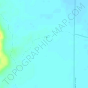
Name: Río Holmul topographic map, elevation, terrain.
Location: Río Holmul, Flores, Petén, Guatemala (17.25724 -89.51864 17.26539 -89.50040)
Average elevation: 212 m
Minimum elevation: 207 m
Maximum elevation: 233 m
Other topographic maps
Click on a map to view its topography, its elevation and its terrain.