
Ranohira topographic map
Interactive map
Click on the map to display elevation.
About this map
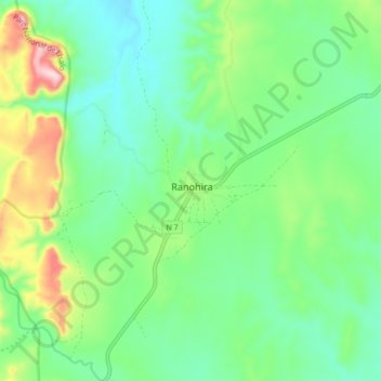
Name: Ranohira topographic map, elevation, terrain.
Location: Ranohira, Ihorombe, Province de Fianarantsoa, Madagascar (-22.59748 45.37393 -22.51748 45.45393)
Average elevation: 815 m
Minimum elevation: 723 m
Maximum elevation: 1,041 m