
Cadenaba topographic map
Interactive map
Click on the map to display elevation.
About this map
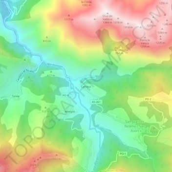
Name: Cadenaba topographic map, elevation, terrain.
Location: Cadenaba, Asturias, España (43.18036 -5.20093 43.22036 -5.16093)
Average elevation: 747 m
Minimum elevation: 327 m
Maximum elevation: 1,329 m