
Warden Hills topographic map
Interactive map
Click on the map to display elevation.
About this map
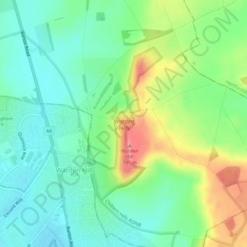
Name: Warden Hills topographic map, elevation, terrain.
Average elevation: 142 m
Minimum elevation: 114 m
Maximum elevation: 194 m
Routes: Central Bedfordshire GPS tracks, routes, trails, hikes