
Chatham topographic map
Interactive map
Click on the map to display elevation.
About this map
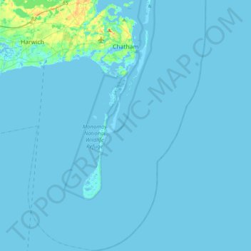
Name: Chatham topographic map, elevation, terrain.
Location: Chatham, Barnstable County, Massachusetts, United States (41.49184 -70.08120 41.72814 -69.86046)
Average elevation: 2 m
Minimum elevation: -4 m
Maximum elevation: 38 m