
Saxton topographic map
Interactive map
Click on the map to display elevation.
About this map
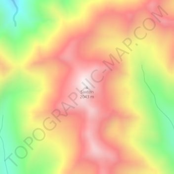
Name: Saxton topographic map, elevation, terrain.
Location: Saxton, Marlborough, New Zealand (-41.97441 173.14967 -41.97431 173.14977)
Average elevation: 1,664 m
Minimum elevation: 1,163 m
Maximum elevation: 2,036 m
Other topographic maps
Click on a map to view its topography, its elevation and its terrain.
Saint Arnaud Range
New Zealand > Marlborough > Marlborough District
The lower elevations are covered primarily in beech forests, while higher elevations (above about 5,000 feet) are alpine.
Average elevation: 1,249 m