
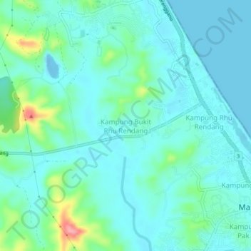
Kampung Bukit Rhu Rendang topographic map
Interactive map
Click on the map to display elevation.
About this map
Name: Kampung Bukit Rhu Rendang topographic map, elevation, terrain.
Location: Kampung Bukit Rhu Rendang, Terengganu, Malaysia (5.19943 103.16389 5.23943 103.20389)
Average elevation: 21 m
Minimum elevation: -14 m
Maximum elevation: 111 m