
Crowder topographic map
Interactive map
Click on the map to display elevation.
About this map
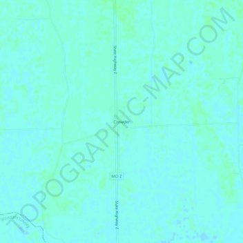
Name: Crowder topographic map, elevation, terrain.
Location: Crowder, Scott County, Missouri, 63784, USA (36.94255 -89.70342 36.98255 -89.66342)
Average elevation: 94 m
Minimum elevation: 92 m
Maximum elevation: 97 m