
Gorris topographic map
Interactive map
Click on the map to display elevation.
About this map
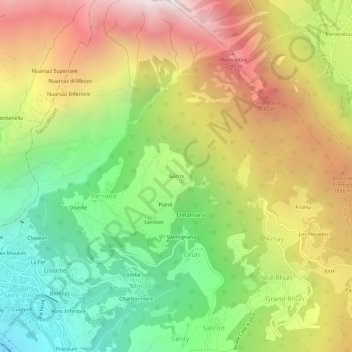
Name: Gorris topographic map, elevation, terrain.
Location: Gorris, Saint-Vincent, Valle de Aosta, 11027, Italia (45.74392 7.65265 45.78392 7.69265)
Average elevation: 1,354 m
Minimum elevation: 429 m
Maximum elevation: 2,458 m