
Steyregg topographic map
Interactive map
Click on the map to display elevation.
About this map
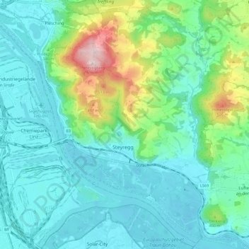
Name: Steyregg topographic map, elevation, terrain.
Location: Steyregg, Bezirk Urfahr-Umgebung, Upper Austria, 4221, Austria (48.25707 14.31474 48.32650 14.42454)
Average elevation: 319 m
Minimum elevation: 239 m
Maximum elevation: 614 m