
Muang Sing topographic map
Interactive map
Click on the map to display elevation.
About this map
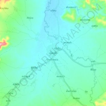
Name: Muang Sing topographic map, elevation, terrain.
Location: Muang Sing, Sing District, Luang Namtha, Laos (21.14889 101.10857 21.22889 101.18857)
Average elevation: 663 m
Minimum elevation: 631 m
Maximum elevation: 831 m