
Shindisi topographic map
Interactive map
Click on the map to display elevation.
About this map
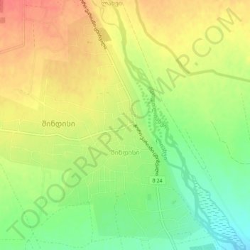
Name: Shindisi topographic map, elevation, terrain.
Location: Shindisi, Gori Municipality, Inner Kartli, Georgia (42.11690 43.98188 42.14571 44.02422)
Average elevation: 751 m
Minimum elevation: 720 m
Maximum elevation: 777 m