Rotglà i Corberà topographic map
Interactive map
Click on the map to display elevation.
About this map
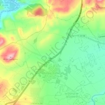
Name: Rotglà i Corberà topographic map, elevation, terrain.
Average elevation: 135 m
Minimum elevation: 60 m
Maximum elevation: 247 m

Click on the map to display elevation.
Name: Rotglà i Corberà topographic map, elevation, terrain.
Average elevation: 135 m
Minimum elevation: 60 m
Maximum elevation: 247 m