
Playa Puerto Chancay topographic map
Interactive map
Click on the map to display elevation.
About this map
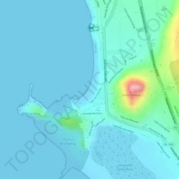
Name: Playa Puerto Chancay topographic map, elevation, terrain.
Average elevation: 20 m
Minimum elevation: -6 m
Maximum elevation: 159 m
Other topographic maps
Click on a map to view its topography, its elevation and its terrain.
Humedal Santa Rosa
Humedal Santa Rosa, Chancay, Provincia de Huaral, Lima, Perú
Average elevation: 20 m
San Martín
Perú > Lima > Chancay > San Martín
San Martín, Chancay, Provincia de Huaral, Lima, Perú
Average elevation: 75 m