
Linden topographic map
Interactive map
Click on the map to display elevation.
About this map
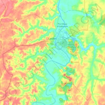
Name: Linden topographic map, elevation, terrain.
Location: Linden, Upper Demerara-Berbice, Guyana (5.89508 -58.39990 6.07270 -58.20412)
Average elevation: 42 m
Minimum elevation: -3 m
Maximum elevation: 93 m