
Estérel topographic map
Interactive map
Click on the map to display elevation.
About this map
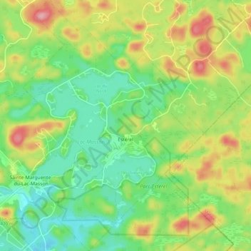
Name: Estérel topographic map, elevation, terrain.
Location: Estérel, Les Pays-d'en-Haut, Laurentides, Québec, Canada (46.01221 -74.06024 46.07980 -73.98977)
Average elevation: 370 m
Minimum elevation: 316 m
Maximum elevation: 454 m