
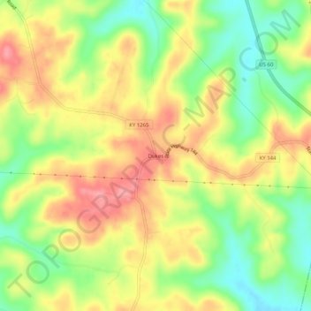
Dukes topographic map
Interactive map
Click on the map to display elevation.
About this map
Name: Dukes topographic map, elevation, terrain.
Location: Dukes, Hancock County, Kentucky, United States (37.80478 -86.71832 37.84478 -86.67832)
Average elevation: 176 m
Minimum elevation: 127 m
Maximum elevation: 221 m