
官埠桥镇 topographic map
Interactive map
Click on the map to display elevation.
About this map
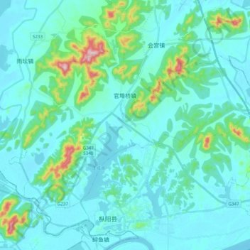
Name: 官埠桥镇 topographic map, elevation, terrain.
Location: 官埠桥镇, 枞阳县, 铜陵市, 安徽省, 中国 (30.71255 117.13521 30.82378 117.32973)
Average elevation: 47 m
Minimum elevation: 3 m
Maximum elevation: 349 m