
Jisp topographic map
Interactive map
Click on the map to display elevation.
About this map
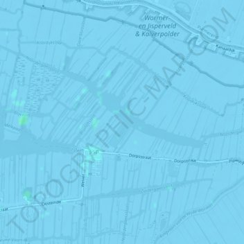
Name: Jisp topographic map, elevation, terrain.
Location: Jisp, Wormerland, Nordholland, Niederlande (52.50226 4.83205 52.51984 4.87861)
Average elevation: -2 m
Minimum elevation: -6 m
Maximum elevation: 3 m
Other topographic maps
Click on a map to view its topography, its elevation and its terrain.
Wormerland
Niederlande > Nordholland > Wormerland
Wormerland, Nordholland, Niederlande
Average elevation: -2 m
Oostknollendam
Niederlande > Nordholland > Wormerland
Oostknollendam, Wormerland, Nordholland, Niederlande
Average elevation: -2 m