
Klampis Ngasem topographic map
Interactive map
Click on the map to display elevation.
About this map
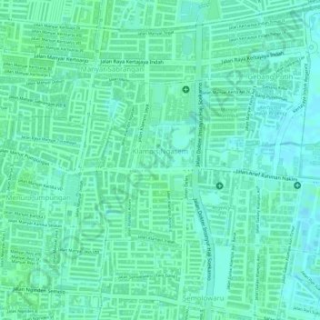
Name: Klampis Ngasem topographic map, elevation, terrain.
Location: Klampis Ngasem, Sukolilo, Surabaya, East Java, Indonesia (-7.29642 112.76835 -7.28118 112.78357)
Average elevation: 4 m
Minimum elevation: -1 m
Maximum elevation: 6 m