
Grintovec topographic map
Interactive map
Click on the map to display elevation.
Grintovec
Grintovec is the highest mountain of the Kamnik–Savinja Alps, with an elevation of 2,558 metres (8,392 ft). It is a popular location for hiking, climbing and skiing. The first recorded ascent was in 1759 by the botanist Giovanni Antonio Scopoli.
About this map
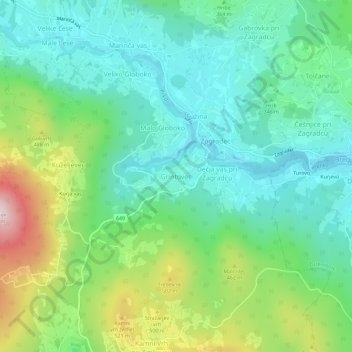
Name: Grintovec topographic map, elevation, terrain.
Location: Grintovec, Ivančna Gorica, 1303, Slovenia (45.83555 14.80800 45.87555 14.84800)
Average elevation: 363 m
Minimum elevation: 233 m
Maximum elevation: 680 m