
Schoten topographic map
Interactive map
Click on the map to display elevation.
About this map
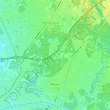
Name: Schoten topographic map, elevation, terrain.
Location: Schoten, Antwerpen, Flandern, 2900, Belgien (51.23556 4.45490 51.30416 4.55298)
Average elevation: 9 m
Minimum elevation: 1 m
Maximum elevation: 21 m