
Mackenzie County topographic map
Interactive map
Click on the map to display elevation.
About this map
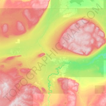
Name: Mackenzie County topographic map, elevation, terrain.
Location: Mackenzie County, Alberta, Canadá (57.37836 -120.00135 60.00042 -113.99978)
Average elevation: 509 m
Minimum elevation: 225 m
Maximum elevation: 1,055 m
Other topographic maps
Click on a map to view its topography, its elevation and its terrain.
Drumheller (town)
Drumheller (town), Alberta, T0J 2V0, Canadá
Average elevation: 855 m
Río Athabasca
Río Athabasca, Municipal District of Lesser Slave River, Alberta, T9S 1H4, Canadá
Average elevation: 696 m