Geolocate

Caerleon topographic map

Click on the map to display elevation.

About this map

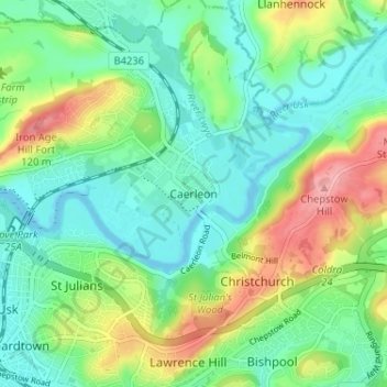
Name: Caerleon topographic map, elevation, terrain.

Location: Caerleon, Newport, Gwent, Wales, NP18 1AE, United Kingdom (51.58947 -2.97410 51.62947 -2.93410)

Average elevation: 37 m

Minimum elevation: -2 m

Maximum elevation: 116 m

Gwent trails, hiking, mountain biking, running and outdoor activities

Gear up for your next adventure:

🚲Cycling GPS Computers - Track elevation and topographic routes on two wheels
🔦Waterproof LED Headlamps - Hands-free lighting for evening treks and emergency navigation
🥄Titanium Camping Sporks - The ultimate lightweight utensil for trail meals
🧣Neck Gaiters - Versatile protection against wind and cold
🧺Ultralight Dry Bags - Organize and waterproof your gear inside your rucksack

As an Amazon Associate, this site earns from qualifying purchases at no extra cost to you.