
Tinguaton topographic map
Interactive map
Click on the map to display elevation.
About this map
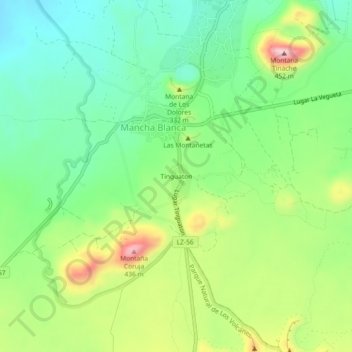
Name: Tinguaton topographic map, elevation, terrain.
Location: Tinguaton, Tinajo, Las Palmas, Canarias, 35560, España (29.01740 -13.70679 29.05740 -13.66679)
Average elevation: 281 m
Minimum elevation: 187 m
Maximum elevation: 446 m