
Zieuwent topographic map
Interactive map
Click on the map to display elevation.
About this map
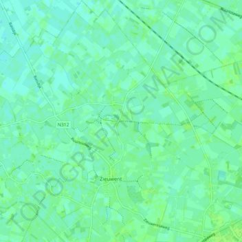
Name: Zieuwent topographic map, elevation, terrain.
Location: Zieuwent, Oost Gelre, Gelderland, Nederland (51.98951 6.48597 52.04427 6.55600)
Average elevation: 19 m
Minimum elevation: 15 m
Maximum elevation: 23 m
Other topographic maps
Click on a map to view its topography, its elevation and its terrain.
Oost Gelre
Nederland > Gelderland > Oost Gelre
Oost Gelre, Gelderland, Nederland
Average elevation: 23 m