
Sestrières topographic map
Interactive map
Click on the map to display elevation.
About this map
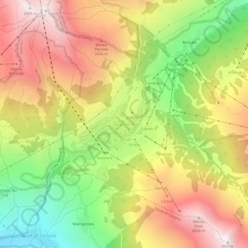
Name: Sestrières topographic map, elevation, terrain.
Location: Sestrières, Turin, Piémont, 10058, Italie (44.93845 6.85869 44.97845 6.89869)
Average elevation: 2,120 m
Minimum elevation: 1,502 m
Maximum elevation: 2,703 m