
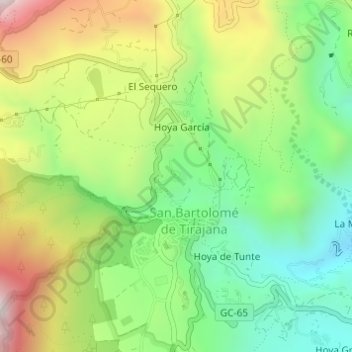
Perera topographic map
Interactive map
Click on the map to display elevation.
About this map
Name: Perera topographic map, elevation, terrain.
Average elevation: 980 m
Minimum elevation: 662 m
Maximum elevation: 1,447 m
Other topographic maps
Click on a map to view its topography, its elevation and its terrain.
Maspalomas
Spanje > San Bartolomé de Tirajana
Maspalomas, San Bartolomé de Tirajana, Las Palmas, Canarische Eilanden, 35100, Spanje
Average elevation: 34 m