
Gashi topographic map
Interactive map
Click on the map to display elevation.
About this map
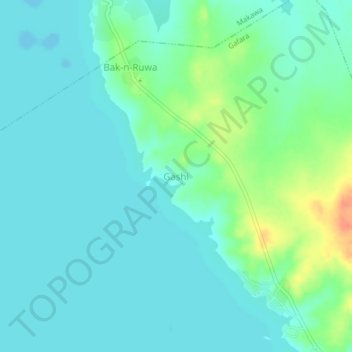
Name: Gashi topographic map, elevation, terrain.
Location: Gashi, Gafara, Ngaski, Kebbi, Nigeria (10.45680 4.61821 10.49680 4.65821)
Average elevation: 145 m
Minimum elevation: 134 m
Maximum elevation: 181 m