
Hausen am Albis topographic map
Interactive map
Click on the map to display elevation.
About this map
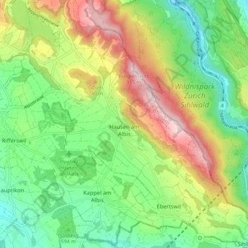
Name: Hausen am Albis topographic map, elevation, terrain.
Location: Hausen am Albis, Bezirk Affoltern, Zürich, Schweiz (47.21701 8.50108 47.27358 8.58016)
Average elevation: 636 m
Minimum elevation: 477 m
Maximum elevation: 892 m