
Blind River topographic map
Interactive map
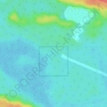
Click on the map to display elevation.
About this map
Name: Blind River topographic map, elevation, terrain.
Average elevation: 188 m
Minimum elevation: 178 m
Maximum elevation: 236 m
Other topographic maps
Click on a map to view its topography, its elevation and its terrain.
Blind River
Canada > Ontario > Blind River
Blind River, Algoma District, Ontario, Canada
Average elevation: 194 m
Snafu Lake
Canada > Ontario > Blind River > Blind River
Snafu Lake, Blind River, Algoma District, Ontario, Canada
Average elevation: 332 m