
Östrand topographic map
Interactive map
Click on the map to display elevation.
About this map
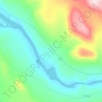
Name: Östrand topographic map, elevation, terrain.
Location: Östrand, Älvsbyns kommun, Comté de Norrbotten, Norrland, Suède (65.77016 20.63864 65.81016 20.67864)
Average elevation: 127 m
Minimum elevation: 40 m
Maximum elevation: 335 m