
Renera topographic map
Interactive map
Click on the map to display elevation.
About this map
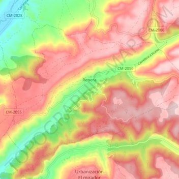
Name: Renera topographic map, elevation, terrain.
Location: Renera, Guadalajara, Castilla-La Mancha, 19145, España (40.46613 -3.05315 40.51059 -2.97312)
Average elevation: 845 m
Minimum elevation: 682 m
Maximum elevation: 957 m