
Cristóbal topographic map
Interactive map
Click on the map to display elevation.
About this map
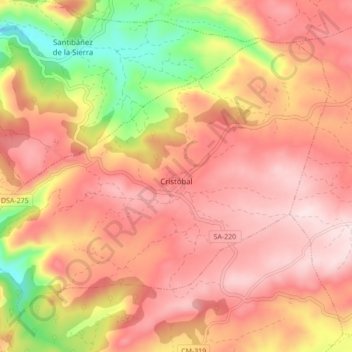
Name: Cristóbal topographic map, elevation, terrain.
Location: Cristóbal, Béjar, Castilla y León, 37684, España (40.44456 -5.93860 40.49582 -5.85229)
Average elevation: 807 m
Minimum elevation: 553 m
Maximum elevation: 956 m