
Røssvatnet topographic map
Interactive map
Click on the map to display elevation.
About this map
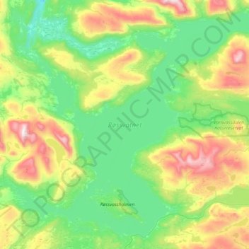
Name: Røssvatnet topographic map, elevation, terrain.
Location: Røssvatnet, 292, Varntresk, Hattfjelldal, Nordland, Norway (65.64951 13.73198 65.91861 14.45344)
Average elevation: 594 m
Minimum elevation: 248 m
Maximum elevation: 1,542 m