
Rennebu topographic map
Interactive map
Click on the map to display elevation.
About this map
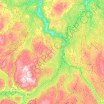
Name: Rennebu topographic map, elevation, terrain.
Location: Rennebu, Trøndelag, Norway (62.55823 9.42157 62.97431 10.32508)
Average elevation: 763 m
Minimum elevation: 163 m
Maximum elevation: 1,603 m
Other topographic maps
Click on a map to view its topography, its elevation and its terrain.