
Sint Nicolaasga topographic map
Interactive map
Click on the map to display elevation.
About this map
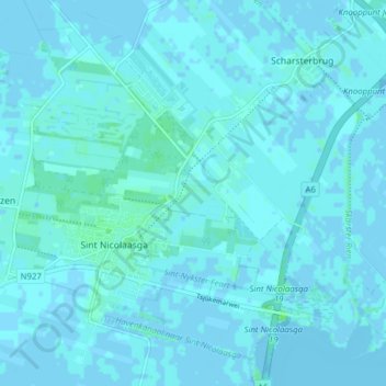
Name: Sint Nicolaasga topographic map, elevation, terrain.
Location: Sint Nicolaasga, De Fryske Marren, Friesland, Nederland (52.90837 5.71382 52.94963 5.79152)
Average elevation: 1 m
Minimum elevation: -9 m
Maximum elevation: 8 m
Other topographic maps
Click on a map to view its topography, its elevation and its terrain.
Balk
Nederland > Friesland > De Fryske Marren
Balk, De Fryske Marren, Friesland, Nederland
Average elevation: 0 m
Camping
Nederland > Friesland > De Fryske Marren
Camping, De Fryske Marren, Friesland, Nederland, 8493KN, Nederland
Average elevation: -1 m