Geolocate

Coalfields topographic map

Click on the map to display elevation.

About this map

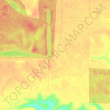
Name: Coalfields topographic map, elevation, terrain.

Location: Coalfields, Coalfields No. 4, Saskatchewan, Canada (49.08352 -102.76206 49.12352 -102.72206)

Average elevation: 571 m

Minimum elevation: 535 m

Maximum elevation: 587 m

Gear up for your next adventure:

🥾Women's Waterproof Hiking Boots - High-performance trekking boots designed for all-weather comfort
Lightweight Tents - Compact tents for backpacking and trekking
🦟Anti-Midge & Tick Repellent - Vital for hiking in the Scottish Highlands during summer
🧥Breathable Waterproof Jackets - Essential rain protection for the unpredictable British climate
👖Hiking Trousers - Durable trousers designed for rough terrain

As an Amazon Associate, this site earns from qualifying purchases at no extra cost to you.