
Peyine topographic map
Interactive map
Click on the map to display elevation.
About this map
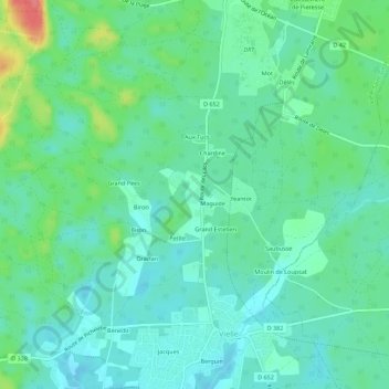
Name: Peyine topographic map, elevation, terrain.
Average elevation: 27 m
Minimum elevation: 8 m
Maximum elevation: 79 m
Other topographic maps
Click on a map to view its topography, its elevation and its terrain.
Moura
France > Nouvelle-Aquitaine > Landes > Vielle-Saint-Girons > Vielle
Moura, Vielle, Vielle-Saint-Girons, Arrondissement de Dax, Landes, Nouvelle-Aquitaine, France métropolitaine, 40560, France
Average elevation: 15 m