
Aussenkehr topographic map
Interactive map
Click on the map to display elevation.
About this map
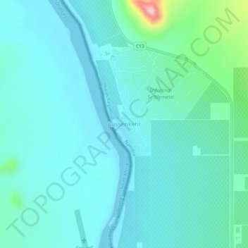
Name: Aussenkehr topographic map, elevation, terrain.
Location: Aussenkehr, Karas, Namibia (-28.39132 17.39233 -28.35132 17.43233)
Average elevation: 141 m
Minimum elevation: 102 m
Maximum elevation: 364 m