
Lake Serenity topographic map
Interactive map
Click on the map to display elevation.
About this map
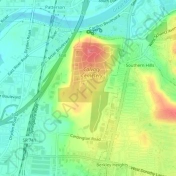
Name: Lake Serenity topographic map, elevation, terrain.
Average elevation: 241 m
Minimum elevation: 213 m
Maximum elevation: 290 m
Other topographic maps
Click on a map to view its topography, its elevation and its terrain.
Moraine
Estados Unidos de América > Ohio > Montgomery County > Moraine > Moraine
Moraine, Montgomery County, Ohio, 45439, Estados Unidos de América
Average elevation: 236 m