Geolocate

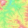
Wag topographic map

Click on the map to display elevation.

About this map
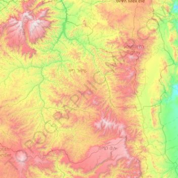
Name: Wag topographic map, elevation, terrain.

Location: Wag, Wag Hemra Zone, Amhara Region, Ethiopia (11.50000 38.00000 13.50000 40.00000)

Average elevation: 2,024 m

Minimum elevation: 739 m

Maximum elevation: 4,498 m

Other topographic maps

Click on a map to view its topography, its elevation and its terrain.
Wag Hemra Zone

Ethiopia > Amhara Region

Average elevation: 1,978 m

Dejen

Ethiopia > Amhara Region

Average elevation: 1,902 m

Tekeze

Ethiopia > Amhara Region

Average elevation: 1,583 m

Genet Mountain

Ethiopia > Amhara Region > Gonder

Average elevation: 2,220 m

Germama/kesem

Ethiopia > Amhara Region

The Germama is not a navigable stream, and flows with a great volume during the rainy season. It rises west of Kese Koremash, flowing east to the Awash, its course delineating a few kilometers of the northern boundary of the Awash National Park. The Kessem River passes an altitude drop from more than 2000 m on…

Average elevation: 1,306 m

Gear up for your next adventure:

🧢Thermal Beanie Hats - Prevent heat loss from the head in windy summit conditions
🌦️Portable Weather Meters - Handheld tools for monitoring weather conditions
🐕Dog Hiking Gear - Equipment for hiking safely with dogs
🧰Survival Kits - Emergency tools for remote environments
🥤Hydration Bladders - Hands-free hydration systems for backpacks

As an Amazon Associate, this site earns from qualifying purchases at no extra cost to you.