
Bretton Woods topographic map
Interactive map
Click on the map to display elevation.
About this map
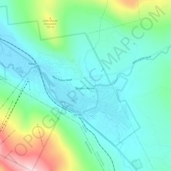
Name: Bretton Woods topographic map, elevation, terrain.
Average elevation: 577 m
Minimum elevation: 469 m
Maximum elevation: 917 m
Other topographic maps
Click on a map to view its topography, its elevation and its terrain.
Fabyan
United States > New Hampshire > Coos County > Carroll
Fabyan, Carroll, Coos County, New Hampshire, 03575, United States
Average elevation: 590 m